A slow-moving Kona low system north of Kauai brought widespread heavy rain, strong winds, and hazardous marine conditions to Hawaii on Sunday, prompting flood advisories across multiple islands and a flood watch for the entire state through Monday, according to the National Weather Service.
Forecasters said the storm system is expected to move southwest today before turning west. Thunderstorms and periods of heavy rainfall are projected to continue into early this week, increasing the risk of flash flooding.
By Sunday afternoon, flood advisories had been issued for Kauai, Oahu, Maui County, and Hawaii County. Radar showed rain rates ranging from 0.5 to 2 inches per hour, with isolated higher amounts in some areas.
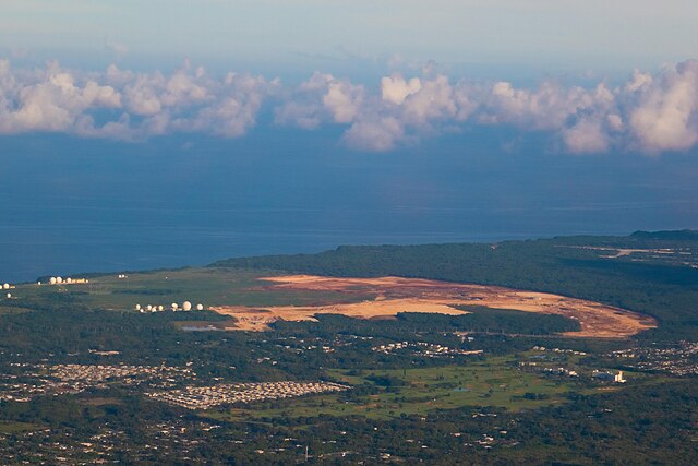
On Kauai, heavy rain developing offshore threatened areas including Lihue, Kapaa, Hanalei, Kekaha, and Waimea, as well as trails in Kokee State Park, Alakai Swamp, and the North Fork Wailua region.
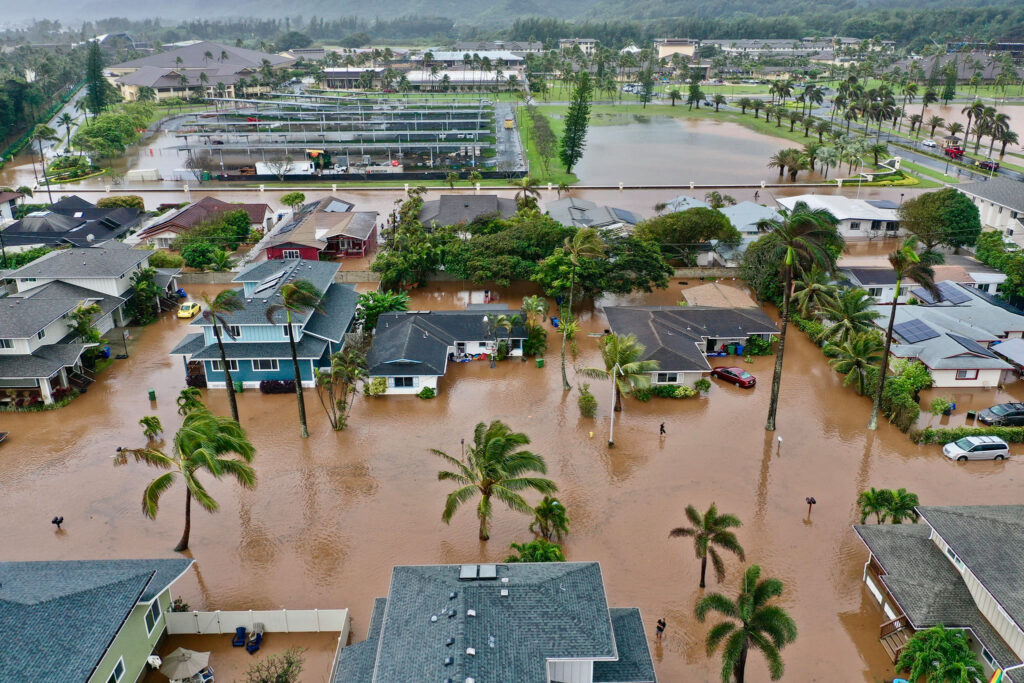
On Oahu, repeated flood advisories were issued throughout the day as rain moved across both the urban core and windward regions. Affected locations included Honolulu, Pearl City, Mililani, Wahiawa, Waipahu, Aiea, Kaneohe, and Ewa Beach.
In Hawaii County, rain impacted southern and eastern areas including Hilo, Pahoa, Volcano, Hawaiian Acres, and parts of Hawai‘i Volcanoes National Park. Precipitation rates approached 2 inches per hour, with localized higher totals in upslope zones.
Maui County experienced rain over eastern areas, particularly in upslope terrain between Kaupo and Nahiku, where forecasters warned of potential additional flooding.
The National Weather Service stated that as the system moves west through Tuesday, winds from the east to east-southeast are expected to strengthen, reaching strong to gale-force levels over coastal and offshore waters.
A small craft advisory remains in effect through Tuesday evening for most island waters, with winds near 30 knots and seas of 10 to 14 feet. A gale warning is active for the Alenuihaha Channel through early Tuesday, where winds of 35 knots and gusts up to 45 knots are forecast.
“Inexperienced mariners, especially those operating smaller vessels, should avoid navigating in these conditions,” forecasters said.
High surf advisories are also in effect for all east-facing shores through early Wednesday, with surf expected to reach 10 to 12 feet. Combined with seasonal high tides and elevated sea levels, minor coastal flooding is possible in low-lying areas, particularly during the early morning hours.
A high wind warning is in effect through early Tuesday for the summits of Hawaii Island, where southeast winds of 50 to 60 mph and gusts up to 75 mph are expected.
Forecasters said lingering tropical moisture could result in unsettled weather conditions across the islands throughout the week. Residents were advised to avoid flooded areas, secure loose items, and monitor official weather updates.